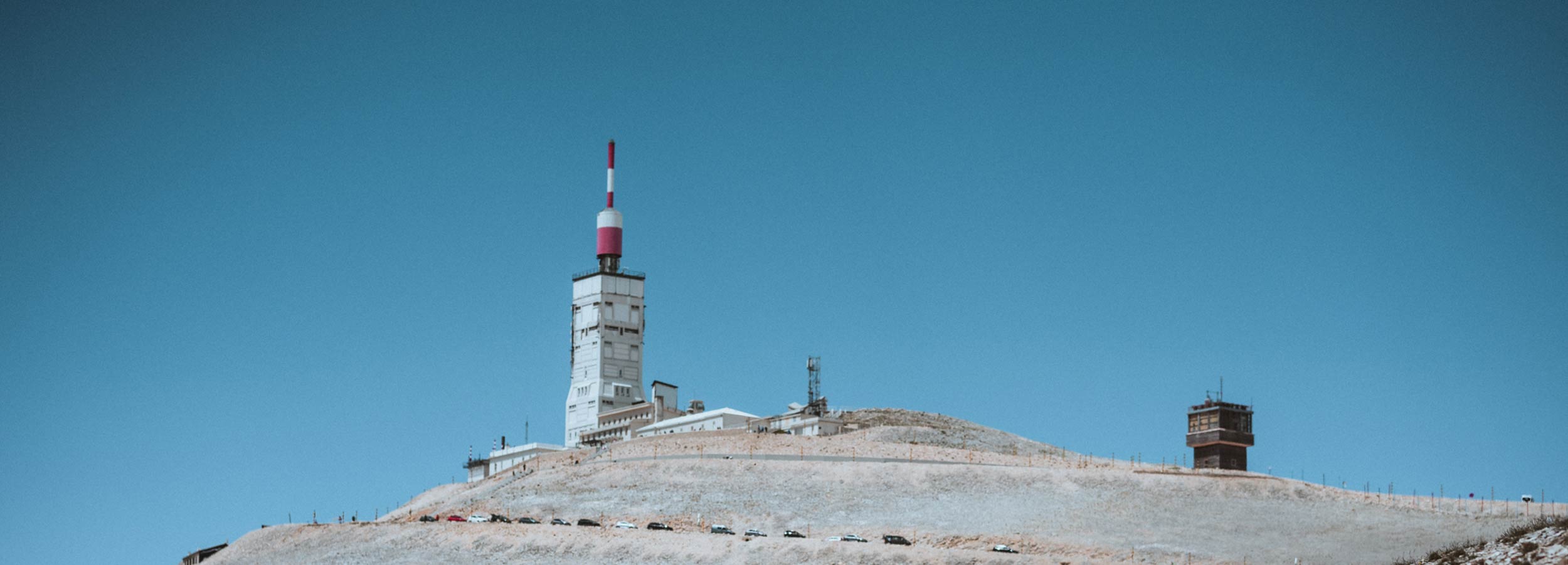
Mont Ventoux: When the mountain calls three times
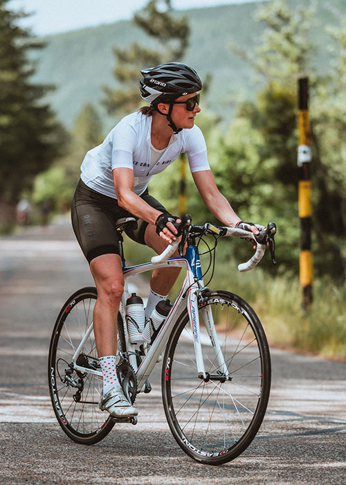
Mont Ventoux, Géant de Provence, classic of the Tour de France: the bare mountain in the middle of the Provence has many names. And just as many paths that lead up. Three in all. We took these three under our wheels at the beginning of June. No, not all of them on the same day – we saved access to the club «Cinglés du Mont Ventoux», the club of crazy people who ride all three climbs in one day, for later. We wanted to savour this adventure a little longer and cycled the climbs from Bédoin, Malaucène and Sault on our road bikes on three days in a row. An experience report by our co-founder Silvia.
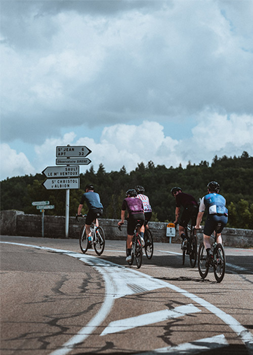
The route to Sault, the starting point for our Mont Ventoux adventure, leads us over the Col de L’Homme Mort. If only that isn’t a bad omen, I guess. I remember the story of Wilfried de Jong from «The man and his bike» and how the protagonist climbs the pass at night in the dark. Here, it is already getting dark too. The twilight makes the peaks on the horizon shimmer blue. And there in the distance we can make it out – Mont Ventoux. It majestically dominates all the other peaks in the region. The spire of the observatory reaches far into the night sky. We arrive in Sault where we meet our friends on the terrace of the restaurant. We toast the adventure that lies ahead. And to friendships that the mountain will seal.
Climb via Bédoin – the classic one
Friday morning. The sky is covered, our glance is directed upwards – hopefully the weather will last. As soon as we set off, we feel the first raindrops. It remains just a few drops, which immediately disappear on the warm asphalt.
Today, the ascent via Bédoin is on the agenda. The southern ramp is one of the classics at the Tour de France. It is on the course plan every now and then. Our route takes us via Gorges de la Nesque to the foot of the Mont Ventoux. The landscape of the gorge is a dream! Hardly any cars. But even more cyclists. All of them retired Frenchmen. Their wiry legs and arms bear witness to many hours in the saddle. Their eyes are always directed downwards to the asphalt. It seems as if they were riding this route for the hundredth time. They know the surroundings, know every single turn. There is no time to look up and be astonished – they sit too doggedly on their bikes and try to build on past performances.
From Bédoin, the mistral is already blowing towards us. That’s a good start! What will it be like at the top? The wind dies down in the forest. It’ s getting warm. It’s getting hot. In the middle section, the average gradient is 9%. Not for nothing does Mont Ventoux belong to the Hors Catégorie. Further ahead, the mountain claims its first victim. A man in an orange jersey pushes his racing bike in front of him, his upper body bent low over the handlebars. «Ca va, monsieur?» My standard question. Some answer, others just look up briefly and nod strained. Will he make it to the summit?
From Chalet Reynard onwards it becomes barren. We are above the tree line. No more trees to give us shade, no more trees to protect us from the wind. The summit is visible in the distance. From here it is another six kilometres. I feel good, feel uplifted. The metres in altitude in the Emmental seem to be paying off. I pedal on and keep my rhythm.
A photo with the summit sign is a must. As a proof of my own performance, of what I have just achieved. We get something to eat at the top. And put on something warmer for the descent. I click in my pedal, shift up – and see the man in the orange jersey crossing me and fighting his way up the last few metres to the summit.
Mont Ventoux by road bike: Route from Sault via Bédoin
Total kilometres: 86
Total metres in altitude: 2066
Kilometres from Bédoin to the summit: 21.2
Metres in altitude from Bédoin to the summit: 1599
Average gradient from Bédoin: 7.5%
Entire route via Bédoin on Strava

Climb via Malaucène – The exposed one
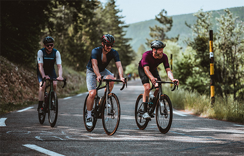
Day two. From Sault we head north-east along the foot of Mont Ventoux. The terrain is hilly. The road is lined with light limestone and yellow flowering bushes. I try to remember what the bushes are called. Broom? I think it’s broom. At the halfway point we reach Malaucène. After a short refreshment in a café, we start the climb. It is midday. The sun is vertical. The thermometer has long since reached 30 degrees. I miss the pine forest from the day before. Much of the west ramp is exposed. Especially in the lower part. Hardly any trees, hardly any shade. The sun is pressing down. The drops of sweat are falling freely, the cycling glasses have long since been put into the helmet.
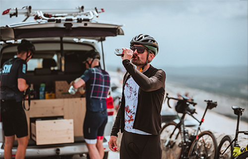
It gets really tough from kilometre nine. For the next four kilometres you have to grit your teeth. The average gradient is 12%. Christoph appears in front of me. I pedal a little harder and hang on to his rear wheel. We hardly speak. We are both busy with ourselves. I am glad to spot our support vehicle further ahead. I pour the last drops of water from the bidon down my neck. The refreshment doesn’t last long. We’ll reach the vehicle in a moment and we can fill up our bidons again.
Suddenly it appears in front of us: the angular observatory with its red and white striped tower. Like a lighthouse in the middle of the limestone desert. The last kilometres lie ahead of us, the peak vertically above us within reach. The road winds picturesquely up to the summit, a few more extended serpentines. Now just keep the rhythm: tac, tac, tac, tac.
Once again the mountain is kind to us. The wind is bearable. We take our sandwiches and sit down at the side of the road. Lunch with a View: We let our glance wander over the Provence countryside. As on the previous day, we take the direct route to Sault. One of the most beautiful descents I have ever ridden. Not too steep that you have to brake constantly; and not too flat that you have to pedal either. Tomorrow we’ll ride the same route under the reverse sign, tomorrow we’ll ride this route up the mountain.
Mont Ventoux by road bike: route from Sault via Malaucène
Total kilometres: 92
Total altitude: 2220
Kilometres from Malaucène to the summit: 20.9
Metres in altitude from Malaucène to the summit: 1576
Average gradient from Malaucène: 7.5%
Entire route via Malaucène on Strava
Climb via Sault – the gracious one
We saved the longest climb for the last day. At 25 kilometres, the east ramp from Sault is not only the longest climb, but also the most gracious, with an average gradient of 4.8%.
The route leads through lavender fields. In a couple of weeks it must be blooming purple and smelling sweet here. The aspirants for today’s stage win have stepped up the pace and are pulling ahead. I try to keep up. No chance. I slow down again. I find my pace, find my rhythm. Tac, tac, tac. I like having the road for myself. I can follow my thoughts, sort out my ideas. Soon pine trees line the road on the left and right. It is pleasantly cool. A straying dog crosses the road. He doesn’t seem to be interested in me. Fine.
The first early riders head towards us in their fluttering jackets. Some look up briefly and nod as they pass. Others keep their focus on the road, bent low over the handlebars. I wonder if they have already fulfilled their target for today? Or, as aspirants to the “Cinglés du Mont Ventoux” club, do they still have two more climbs to go?
The route is slowly becoming flatter. Although the road is still climbing, I have the feeling of being carried. Mont Sacré. The holy mountain. Today Mont Ventoux seems generous. He means well with us. One last right turn and we see the Chalet Reynard in front of us. From here on we know the route. Another six kilometres to the summit.
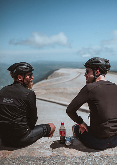
It is Sunday. Whit Sunday. The route is much busier than two days ago. Tourists, day trippers and cyclists are crowding the mountain. Soon we are at the top. Soon the 1910-metre-high mountain is conquered. For the third time in a row. At the top we hug each other. Because you can’t describe this feeling – you can only share it.
Mont Ventoux by road bike: route from Sault
Total kilometres: 75
Total metres in altitude: 1975
Kilometres from Sault to the summit: 25.4
Vertical metres from Sault to the summit: 1214
Average gradient from Sault: 4.8%
Entire route via Sault on Strava
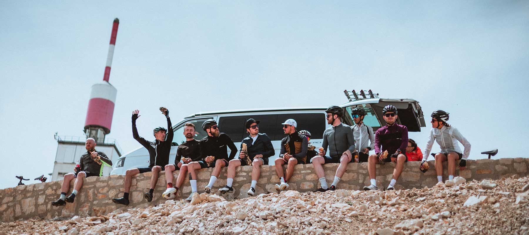
Three days. Three times climbing Mont Ventoux. Some of us got themselves a mountain prize jersey or a miniature kerbstone in the souvenir shop. Others travel home with nothing but the memory of three wonderful days. Whether you’re conquering the mountain for the first time or the x-th time, whether you’re an attacker or a pleasure rider, whether the mountain is a challenge, an adventure or a playground for you: we’ve created shared moments, sealed friendships and created memories that will last forever. Nowhere else does this happen as honestly as on the mountain. And yes, the «Cinglés du Mont Ventoux» club is still high on my bucket list.
Mont Ventoux by road bike: tips
If you prefer to have the road to yourself rather than sharing it with lots of other motorists or cyclists, avoid Sundays.
If you like busy roads, climb Mont Ventoux on a Sunday.
Drink, drink, drink. Especially on hot days. There is one refreshment option per climb: the Chalet Reynard from Bédoin and Sault, about 6 km below the summit, and the Chalet Liotard from Malaucène, also about 6 km below the summit. And of course the Brasserie le Vendran at the summit.
Bédoin is the cycling Mecca on Mont Ventoux. Street cafés, souvenir shops and colourful cycling jerseys line the road. In Malaucène, too, the cafés line the streets. Sault is much less touristy.
On the descent towards Sault, a few kilometres before entering the town, you will find the Farm aux Lavendes. A nice place to stop and relax.
Route planning and organisation: Ruedi Beck from Cycling My Way. Photos: Niels Oberson.
Discover our frames

N°5 lite
Lightweight half-frame sports glasses with high-contrast lens.
6 Color(s)
2 Size(s)
CHF 290.00 – CHF 320.00

N°6
Lifestyle sports glasses for leisure & commuting – also for prescription.
2 Color(s)
2 Size(s)
CHF 290.00

N°7
Lifestyle sports glasses for outdoor and on the go – prescription-ready.
2 Color(s)
2 Size(s)
CHF 290.00
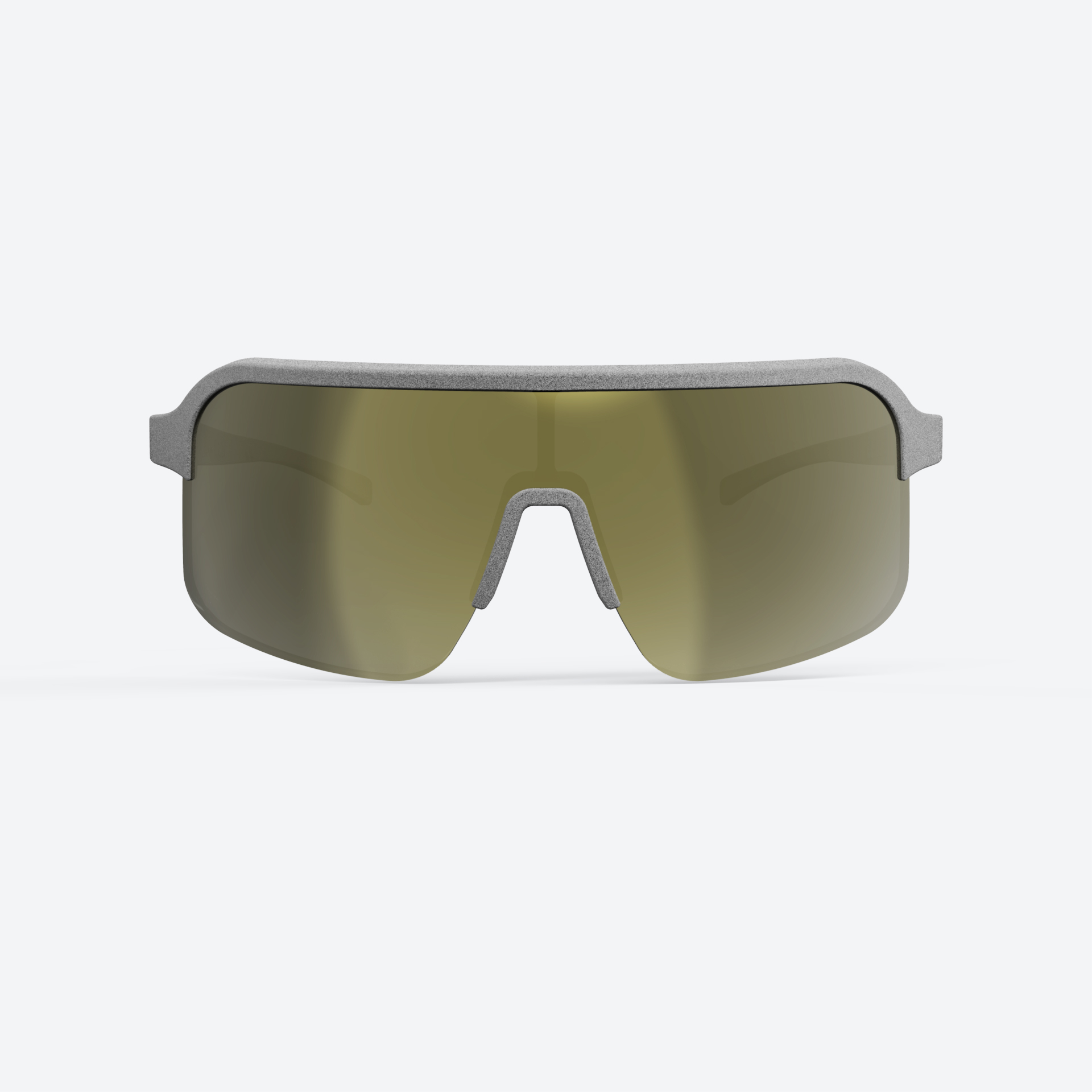
N°4 lite
Developed with Fabian Cancellara. Half-frame for road performance.
6 Color(s)
2 Size(s)
CHF 290.00 – CHF 320.00

N°4
Developed with Fabian Cancellara. Full-frame with a large field of view.
3 Color(s)
2 Size(s)
CHF 290.00 – CHF 320.00

N°1
Ideal for road, gravel, and coffee ride. With a large field of view.
4 Color(s)
2 Size(s)
CHF 290.00 – CHF 320.00
Stories
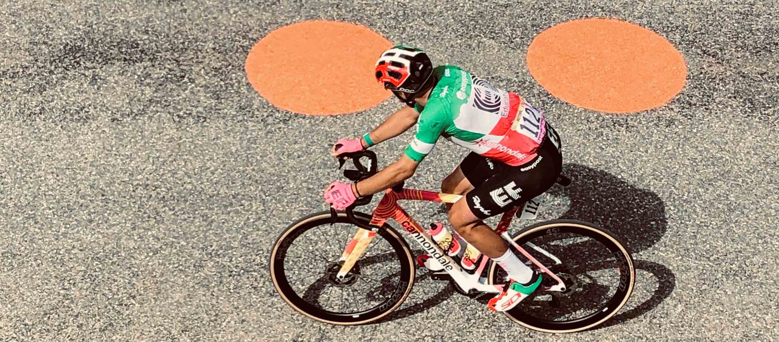
Col du Galibier: Our Marks on the Epic Mountain of the Tour de France
Col du Galibier: Our Marks on the Epic Mountain of the Tour de France
The Col du Galibier, a mountain that evokes awe and excitement in the world of cycling. This legendary pass, majestically...more
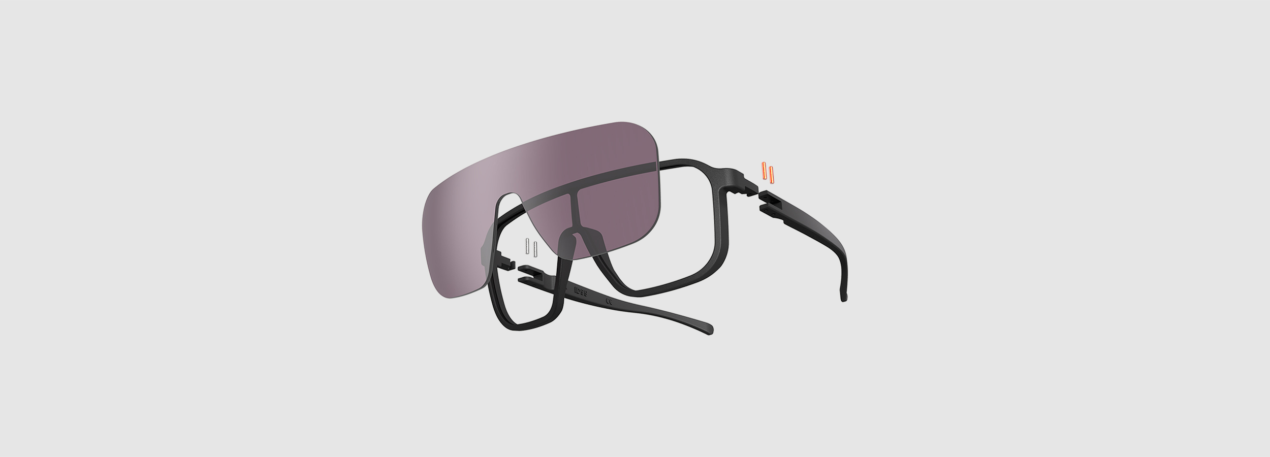
Cycling eyewear design: reduced to the essentials
Cycling eyewear design: reduced to the essentials
During his apprenticeship as a constructor, Simon, our designer and product developer, was taught that a good constructor designs products...more
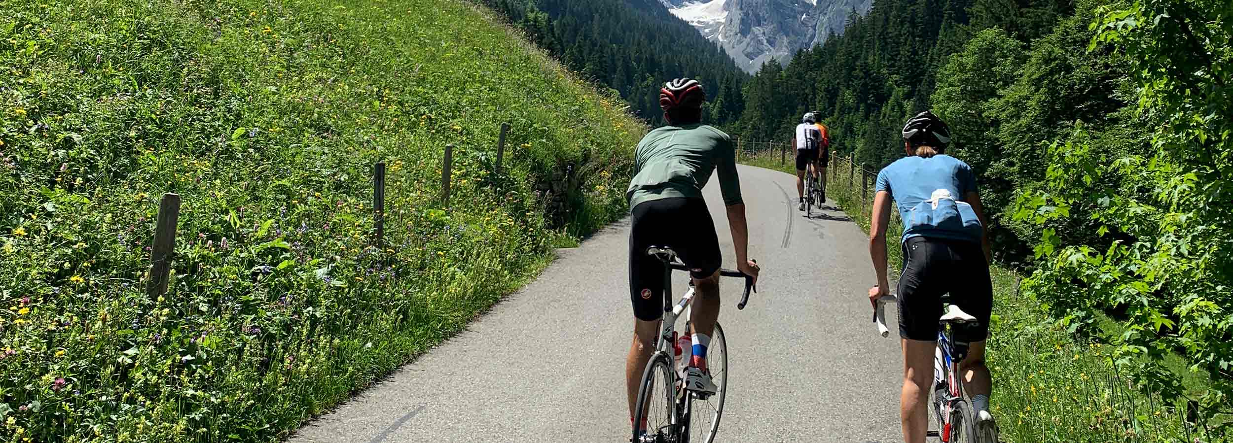
With customer feedback from prototype to cycling glasses N°1
With customer feedback from prototype to cycling glasses N°1
Part two of our designer and developer talk! This time we asked Simon how to develop and optimise sports glasses...more
Swiss cycling glasses with patented click-in technology
Swiss cycling glasses with patented click-in technology
We talked to Simon, our designer and product developer. Because we wanted to know more about the screwless click-in technology....more

Fabian Cancellara joins ILEVE DISTRICT cycling glasses
Fabian Cancellara joins ILEVE DISTRICT cycling glasses
Have you ever felt the urgent need to tell your friends and fellows a well-kept secret so that you can...more

Swiss Glasses for Fabian Cancellara Collection by Strellson
Swiss Glasses for Fabian Cancellara Collection by Strellson
With our minimalist cycling eyewear design, you always look awesome – even off bike. That was also noticed by Strellson....more

How to choose the right lenses for your cycling glasses
How to choose the right lenses for your cycling glasses
No matter whether you are going for a gravel ride through the woods, hitting the roads for conquering alpine passes,...more
Cycling World Championships Zurich 2024: When the UCI fires shots, ILEVE fires back with a smart move
Cycling World Championships Zurich 2024: When the UCI fires shots, ILEVE fires back with a smart move
When life hands you a warning letter, flip the script. That’s exactly what we did at the Cycling World Championships...more
